



The Devils Ear Springshed consists of more than 200,000 acres of land that contribute water to the following group of springs:
- Gilchrist Blue sub-basin springs which include Jonathan, Rum, Gilchrist Blue, Naked, and Johnson Springs.
- July Spring (Columbia) a 1st magnitude spring in Columbia County.
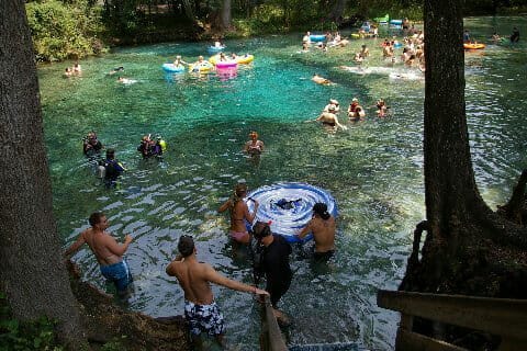
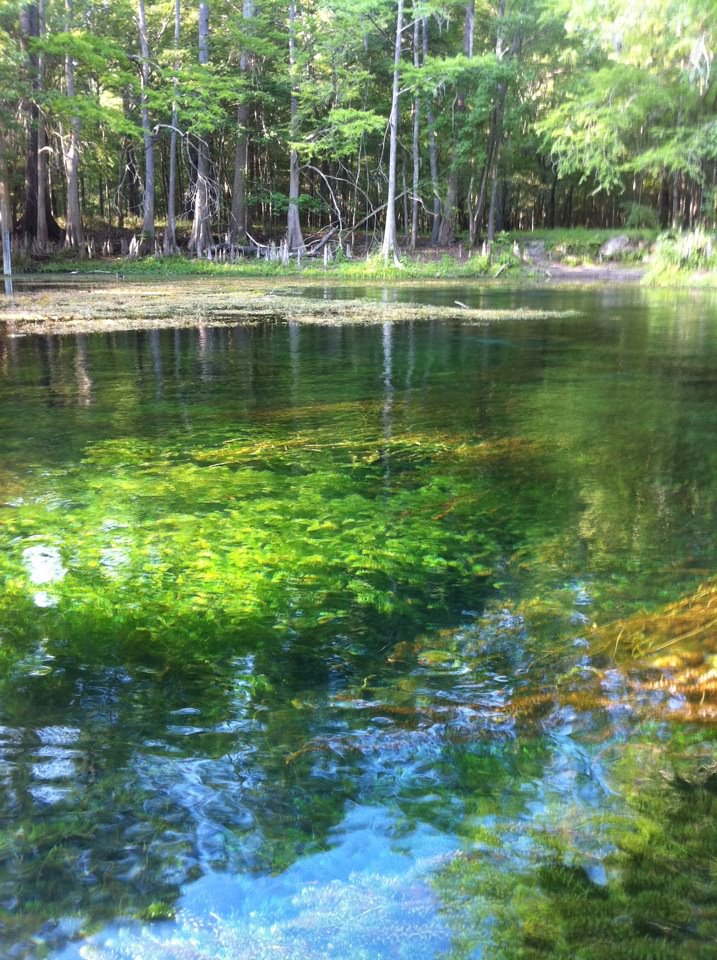
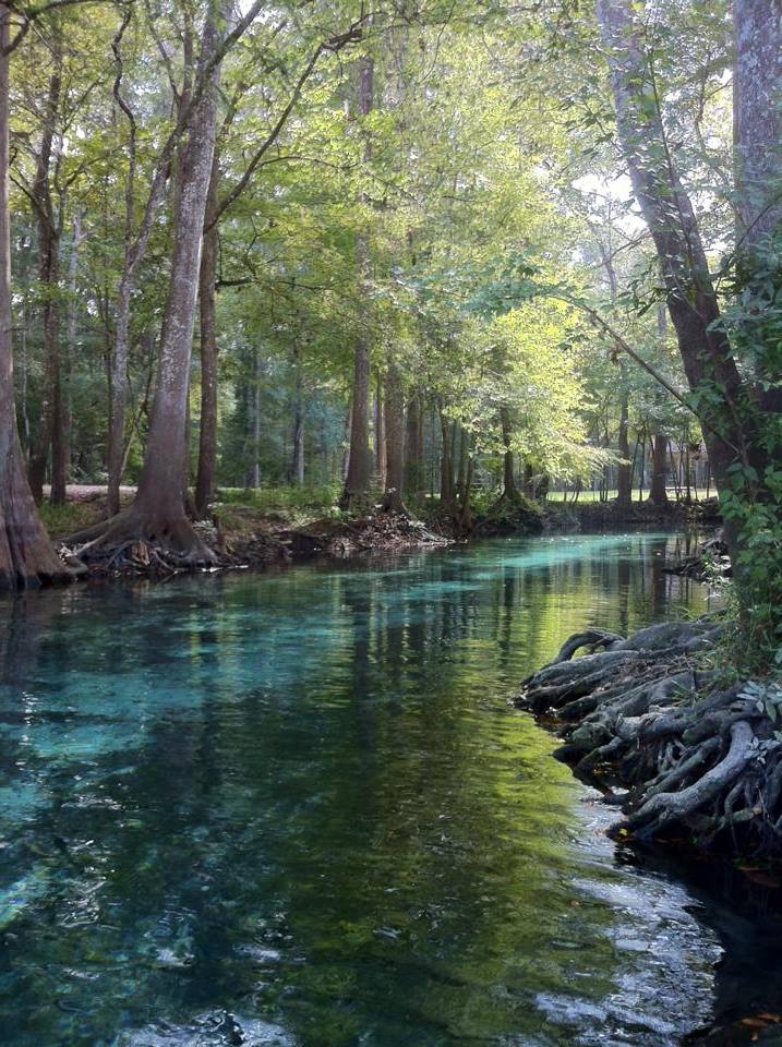
- Ginnie Springs Complex which include Devils Ear, Devils Eye, Little Devil, Ginnie, Dogwood, Twin, and Deer Springs.
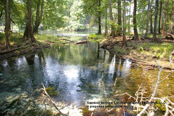
- Sawdust Spring (Columbia) a 3rd magnitude spring in Columbia County.

Devils Ear is the only designated Outstanding Florida Spring (OFS) within this Springshed. This springshed is IMPAIRED due to high nitrates levels which are 73% higher than the state designated safe level. As a result, a Basin Management Action Plan (BMAP) has been enacted to reduce nitrate loading within this basin. (BMAPS: Draft Santa Fe River Basin Management Action Plan, April 2025.)
The Ginnie Springs Complex include Devils Eye, Ear, Little Devil, Ginnie, Dogwood, Twin, and Deer springs. These springs are all within privately run Ginnie Springs Outdoors, LLC . The Suwannee River Water Management District (SRWMD) has permitted up to 1 million gallons per day (mgd) to be withdrawn from wells within the Ginnie Springs complex. The water is pumped from wells near Ginnie by Seven Springs Water Co. which then sells he water to Blue Triton, formerly known as Nestle Waters North America.
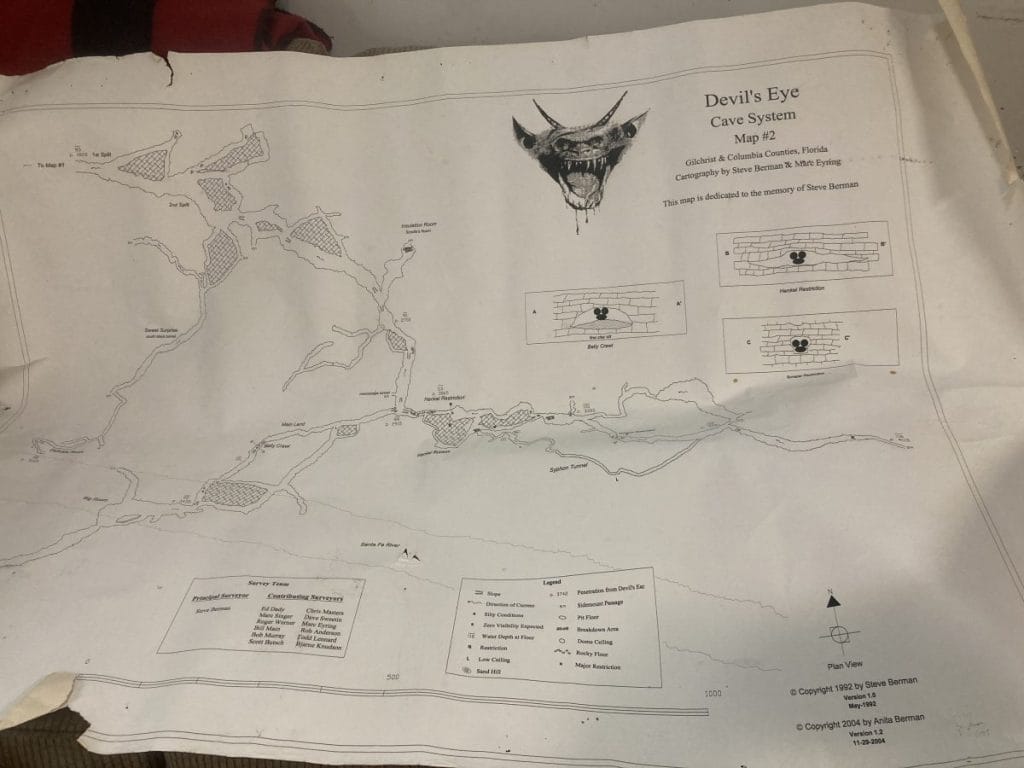
The Devil’s Ear cave system has more than 10,000 feet
of underwater passages. Devil’s Eye, Devil’s Ear and July are connected and are between 70 and 110 feet deep. (Santa Fe River Field Trip.)
HOW YOU CAN HELP:
- Reduce water usage in home and on landscape
- Minimize fertilizer use: don’t apply during rainy periods.
- Maintain Septic tank: pump out every 10 yrs or upgrade
To learn more about this springshed, check-out the following:
Blueprint For Restoring Springs On The Santa Fe River, Florida Springs Institute, 2021, https://floridaspringsinstitute.org/wp-content/uploads/2021/01/Santa-Fe-River-and-Springs-Restoration-Blueprint-01_27_21.pdf, accessed online 5/25/25
BMAPS: Draft Santa Fe River Basin Management Action Plan, April 2025, https://floridadep.gov/sites/default/files/250410_SAFE_BMAPUpdateMeetingMaterials.pdf
Minimum Flows And Minimum Water Levels Re-Evaluation For The Lower Santa Fe And Ichetucknee Rivers And Priority Springs Final, HSW Engineering, 2021, https://www.srwmd.org/DocumentCenter/View/17834/LSFIR-MFL-Report-Final
Santa Fe River Field Trip, Alachua, Columbia, and Gilchrist Counties, Florida, June 2014, Guidebook Number 61, The Southeastern Geological Society (SEGS), Edited by: Peter Butt, Samantha Andrews, P.G., Greg Mudd, P.G. https://segs.org/wp-content/uploads/2010/01/Microsoft_Word__Sante_Fe_SEGS_Guidebook_No_61_FINAL.pdf, accessed online 5/25/25,
Springs of Florida (FGS : Bulletin 66), USGS, 2004, https://ufdc.ufl.edu/UF00094032/00001/images/493, accessed online 5/25/25
Springs 101, Howard T Odum Florida Springs Institute, 2024, https://floridasprings.org/springs-101/, accessed online 5/25/25
Springs of Florida (FGS : Bulletin 66), USGS, 2004, https://ufdc.ufl.edu/UF00094032/00001/images/493
First Magnitude Springs of Florida, Thomas M. Scott, Guy H. Means,Ryan C. Means, and Rebecca P. Meegan, Florida Geological Survey, 2002
Get in on the Conversation