
This is an interesting interactive map, but when I put in an old address which is in Columbia County, it showed the residence across the Santa Fe in Gilchrist Co.
It did work for my address in Tampa.
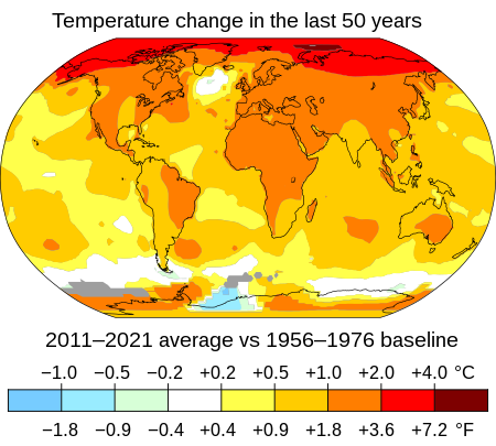
At any rate, maybe we can blame climate change, exacerbated by humans, as the reason.
Read the original article here at News4Jax.
Comments by OSFR historian Jim Tatum.
jim.tatum@oursantaferiver.org
– A river is like a life: once taken,
it cannot be brought back © Jim Tatum
What’s with so many 1,000-year floods in one year?
How to tell if your home is in a flood zone
After nearly 2 feet of rain fell in central Texas on July 4, causing flooding that killed more than 100 people, almost a foot of rain struck central North Carolina as Tropical Storm Chantal moved inland on July 7.
Both are considered to be at least “1,000-year flood” events. But what does that mean, and how could we see so many events in such a short time period?
1,000-year floods, defined for insurance purposes
Insurance companies use decades-old flood statistics that are based on how often the nearest USGS river gauge (there are about 7,500 nationwide) would exceed a certain amount of water flowing past it.
A 100-year flood means that there is a 1% chance of that flood happening in any given year at your home’s location.
A 1,000-year flood would be a 0.1% chance, so in 1,000 years, you’d expect 1 such flood to occur.
But statistics don’t dictate when during that period the floods will occur, and the floods could happen in rapid succession without violating the rule.
Is my home susceptible to any 100- or 1,000-year floods?

Here’s how to check. Use FEMA’s Flood Map Service Center to check the flood zone classification of your property.
Here’s how:
-
Website: Go to theFEMA Flood Map Service Center
-
Location: Enter your address
-
Review the map: The tool will display a map showing your property and its flood zone classification.
-
Understand the classifications: FEMA flood maps indicate zones with varying flood risks. Zone AE, for example, indicates a higher risk of flooding, with a 1% annual chance of flooding (also known as a 100-year flood zone).
Copyright 2025 by WJXT News4JAX – All rights reserved.
About the Author
Mark Collins
After covering the weather from every corner of Florida and doing marine research in the Gulf, Mark Collins settled in Jacksonville to forecast weather for The First Coast.